https://ae.trip.com/moments/destination-ta-phraya-1447077/
2025 Ta Phraya Travel Guide: Must-see attractions, popular food, hotels, transportation routes (updated in June)
Ta Phraya的今日天氣
Mostly cloudy 25-33℃
All Moments About Ta Phraya
Discover the wonders of nature
#Natural attractions Lalu, the land of wonders Those who pass through Tapraya District, Sa Kaeo Province must not miss seeing the wonder of Lalu, which in Khmer means the land that breaks through. Lalu is a type of landscape that has been eroded into a low cliff with gaps, grooves, sharp peaks, or pillars. Some protrude from the ground on a flat open area, resembling a pagoda, a mushroom, or a termite mound, with different heights and alternating in small patches. It's a bit hot, but you'll definitely get beautiful pictures. #Mr.Tourism #VisitSaKaeoนายท่องเที่ยว6Ta Phraya National Park
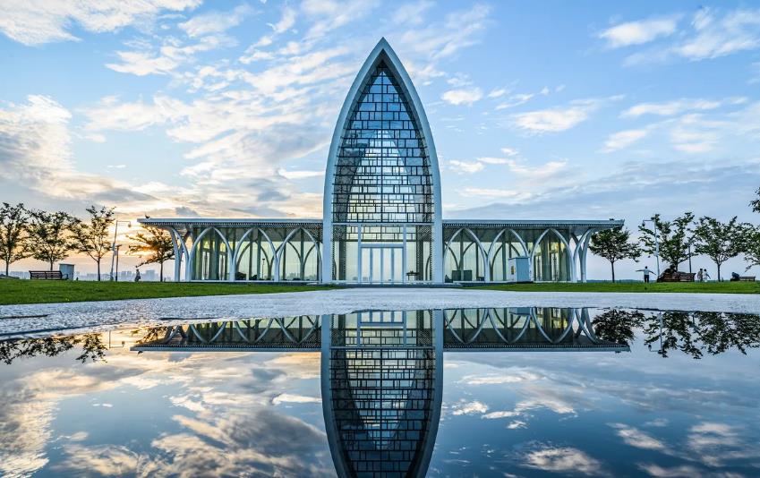
Ta Phraya National Park is located in Non Din Daeng District, Ban Kruat District, Lahan Sai District, Buriram Province and Ta Phraya District, Sa Kaeo Province. It is the 82nd national park of Thailand and is part of the Dong Phayayen-Khao Yai Forest Complex, which has been registered as a natural world heritage site. Ta Phraya National Park is located in the mountainous area from the Banthat Mountain Range all the way to the Phanom Dong Rak Mountain Range, which is the border between Thailand and Cambodia from the 24th to the 28th boundary markers, oriented from west to east, approximately 206–579 meters above sea level. The highest peak is Khao Phran Nuch, 579 meters above sea level, with an average slope of approximately 35 percent. The area located in the southeast of the Khorat Plateau, with an average elevation of approximately 100–200 meters above sea level, consists of Khao Wong, Khao Sakae Krong, Khao Banthat, Khao Noen Hin, and Khao Phanom Mae Kai, which are the headwaters of Lam Sa Don. Huai Sap Kradon, Lam Nang Rong, Lam Chan Han, Huai Tru Ma Meang, Huai Haeng, Huai La Hok Phluang, Huai Din Sai, Huai Na Nuea, Huai Phlu, and Huai Mekha #National park worth visitingJetdo O-negative7Wat Makok, Ta Phraya District, Sa Kaeo Province
✨Invite to the merit-making festival, tying the boundary of the temple🌟 Gilding the boundary stone at Wat Makok🛕⛩️ #Ban Khok Phrek, Tambon Thap Sadet, Amphoe Ta Phraya, Sa Kaeo Province The event starts from December 28, 2024 to January 5, 2025 🙏🎑 There is entertainment, free to watch every night. And on December 26, 2024, there will be a great Buddha consecration ceremony, kindness, great merit, Luang Pho Dam. Come join us for the merit-making festival🙏🙏 📍Address: Wat Makok, Tambon Thap Sadet, Amphoe Ta Phraya, Sa Kaeo Province #Places to visit in Sa Kaeo #Make merit, worship, and ask for blessings #Don't miss out, Sai MuYotin1It is a ho
It is a hotel with only four rooms. It is convenient to travel. It is near 7-Eleven, Lotus, Ta Phraya Hospital, and the police station. Don't be afraid. It is in the city center. The market is near the fresh market. 🏖️ Environment / facilities 📍 Address: Ta Phrayatangmo2004The accomm
The accommodation is clean. It looks new. It was just built. The air conditioning is cool. It's quiet and safe. There are cameras all around. Thank you. #Get a discount without relying on luck.pakpoom1988This is a
This is a model from the 243 hotel. It's very beautiful and the atmosphere is good. Thank you very much. If anyone wants to come and see it, I recommend it. It's located at Ta Phraya #243hotel. The hotel welcomed us very well. There are two free bicycles for us to ride. Thank you.pakpoom19881#thailandt
#thailandtripCherlosthomePha Daeng tourist attractions
#Flying with trip#Pha Daengอนุวัฒน์ อันควรMake merit at Wat Ta Phraya
Make merit at Wat Ta Phraya, very beautiful. I recommend it. There is a temple fair during this period. There is an 8-day fair, hurry up and come. There is a lot of food.pakpoom19881#trip free
#trip free accommodation giveaway #Bangkok attractions0965388651Pha Daeng Viewpoint, Tra Phraya National Park
More beautiful than expected. I made the right decision to stop by. The entrance is at the rest stop (if coming from Sa Kaeo, it will be on the right). All types of vehicles can go up (if it rains, check again). The entrance fee is the standard price of the park. When you reach the cliff, you will feel the cool breeze. But if you bring children, hold on tight. There are no fall protection. There is a tent area. There is a nature study trail, but there is a sign warning you to go with an officer only. But just feeling the breeze is refreshing..🥰 #Pha Daeng Viewpoint #National ParkJeangonlineLalu
#summerdream If anyone often visits Sa Kaeo Province, they must have heard of a place called "Lalu", which comes from the Khmer language and means to break through. This place covers an area of more than 2,000 rai. It is a natural phenomenon caused by rainwater erosion, causing the soil to collapse and collapse, and being eroded by the wind, causing the soil to form different shapes, such as a city wall or a cliff. The appearance changes continuously according to the weather, making it an exciting place for tourists, to the point that it has been called the Grand Canyon of Thailand.All_GrandLalu
Lalu, Sa Kaeo, the weather is hot but the view is very beautiful. It is located near Ban Khlong Yang-Ban Nong Phak Waen, Tambon Thap Rat, Amphoe Ta Phraya, Sa Kaeo Province, or approximately 40 kilometers northeast of Sa Kaeo Province. One of the wonders of Sa Kaeo Province is a natural phenomenon caused by rainwater eroding, collapsing or collapsing the soil. #trip #dreamdestinationHappy TripppLalu
Lalu is a Khmer word that means “through”. This place can be called an Unseen tourist attraction in Sa Kaeo. It was created by natural phenomena. With rainwater eroding and soil collapse, the strong soil remains. When eroded by the wind, it will take the shape of various shapes, similar to a beautiful wall. It is an accumulation of soil sediment that took up to 150 million years. Looking at it briefly, it is like seeing a miniature Utah in our country. Let’s go take some beautiful pictures. #Lalu How to get there - Drive Tourist attractions - Lalu Hotel - Ariya Resort Restaurant and food - Malongfin Restaurant Shopping - Ton Tan Floating MarketKetjj561Lalu, the land of wonders🔮
🛵💨 Travelers......must come!! Lalu, the land of wonders 🏕 Be amazed by the natural sculptures 🚴♂️ 📌 Lalu LALU is another amazing place in Tambon Thap Rat, Amphoe Ta Phraya, Sa Kaeo Province. Lalu is a natural phenomenon caused by rainwater erosion, collapse or collapse of soil. When eroded by the wind, it takes on various shapes, similar to a cliff wall, which is beautiful and unique, depending on each person's imagination. Every year, it changes shape continuously. The Lalu sculptures are scattered at various points, divided into zones with different beautiful characteristics. The best time to visit is in the morning and evening because the soft sunlight shines on the clay sculptures, making them golden and beautiful. At night, you can also ride a tractor to see the stars that fill the sky alongside the clay sculptures. Lalu is a natural wonder that is definitely worth visiting. 📌 For welcoming activities for tourists 🔸See Lalu and the surrounding nature 🍀🕊 🔹Relax 🔸Picnic with family and friends 🔹Take photos, enjoy the view, camp, and watch the stars 🏕 🌳 🔸E-Taen car for sightseeing 📌There is a service fee for the E-Taen car for sightseeing, 200 baht per round trip, including round trip 📍Nature lovers...must not miss it!!! Opening hours: 08.00 - 17.00 hrs. For more information, call: 080 898 5852, 082 339 2337 #Ta Phraya #Sa Kaeo #LaluErn_ly3Pha Daeng Viewpoint⛰️
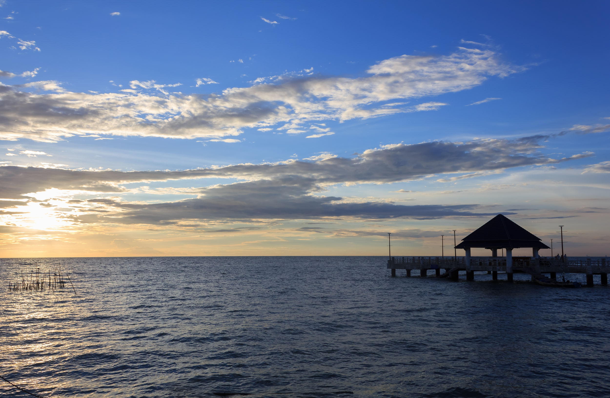
🛵💨 Invite you to visit Thap Rat ‼️ Travelers......must come!! Pha Daeng viewpoint 🌳🚴🏻 🏕 Let's go hiking and enjoy the view? 🚣🏻♀️ 📌Pha Daeng viewpoint, another Unseen of Ta Phraya National Park, Ta Phraya District, Sa Kaeo Province. A steep cliff which is a viewpoint surrounded by mountains. Looking around, you will see beautiful scenery. You will see the Phran Nooch Mountain Range and the Sakae Krong Mountain Range. You will see the landscape in the Khao Chong Tako National Park and the surrounding landscape of Thap Rat Subdistrict. In addition, the viewpoint area is full of trees and various plants, surrounded by fresh nature. At the viewpoint, there are forest rangers to take care of and provide full service to tourists. If you try to visit, I assure you that you will get an atmosphere full of pure ozone for sure. 📌 For welcoming activities for tourists 🔸See nature 🍀🕊 🔹Sit and relax 🔸Have a picnic with family and friends 🔹Take photos of the view, hike, camp 🏕 🌳 📌The entrance fee to the viewpoint is 20 baht per person. 📍Nature lovers...don't miss it!!! 😷 Don't forget to wear a mask and wash your hands with alcohol gel. Opening hours: 08.00 - 17.00 For more information, call: 081 178 8119 ……………………………………............................................#Thaprach attractions #Sa Kaeo attractions #Ta Phraya attractions #Ta Phraya #Sa Kaeo #Ta Phraya National Park #Unseen Thaprach #Pha Daeng viewpointErn_ly4

Popular Ta Phraya Topics

Attractions
7 posts
Hotels
3 posts

Destinations related to Ta Phraya
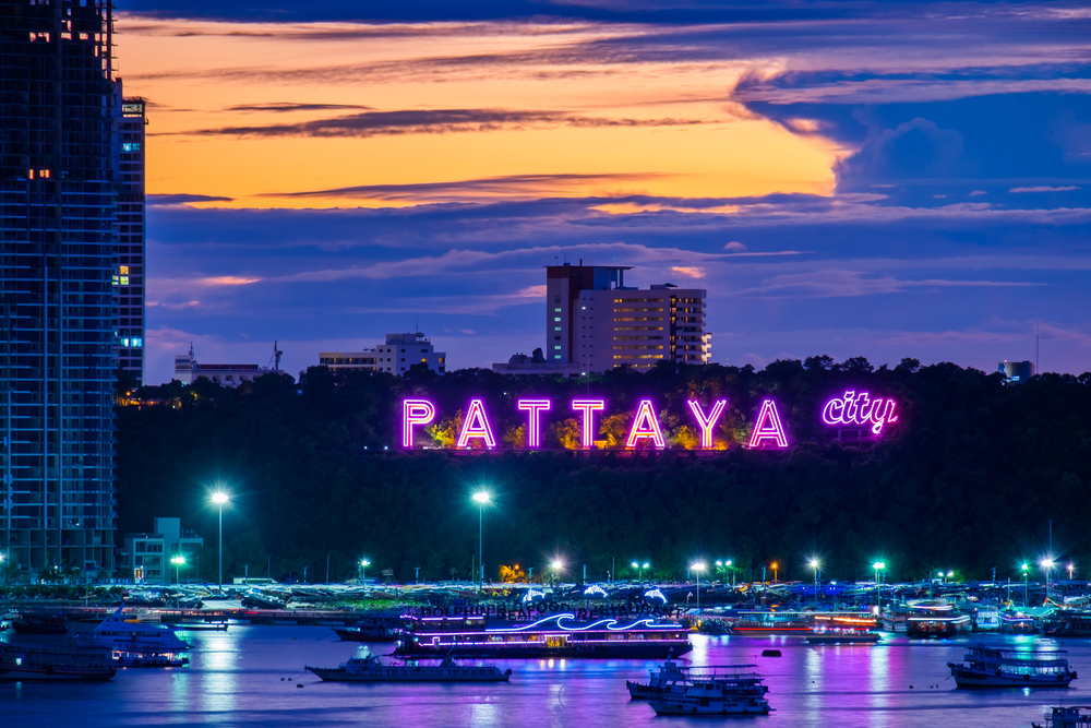
Pattaya
7142 posts
Chon Buri
3093 posts
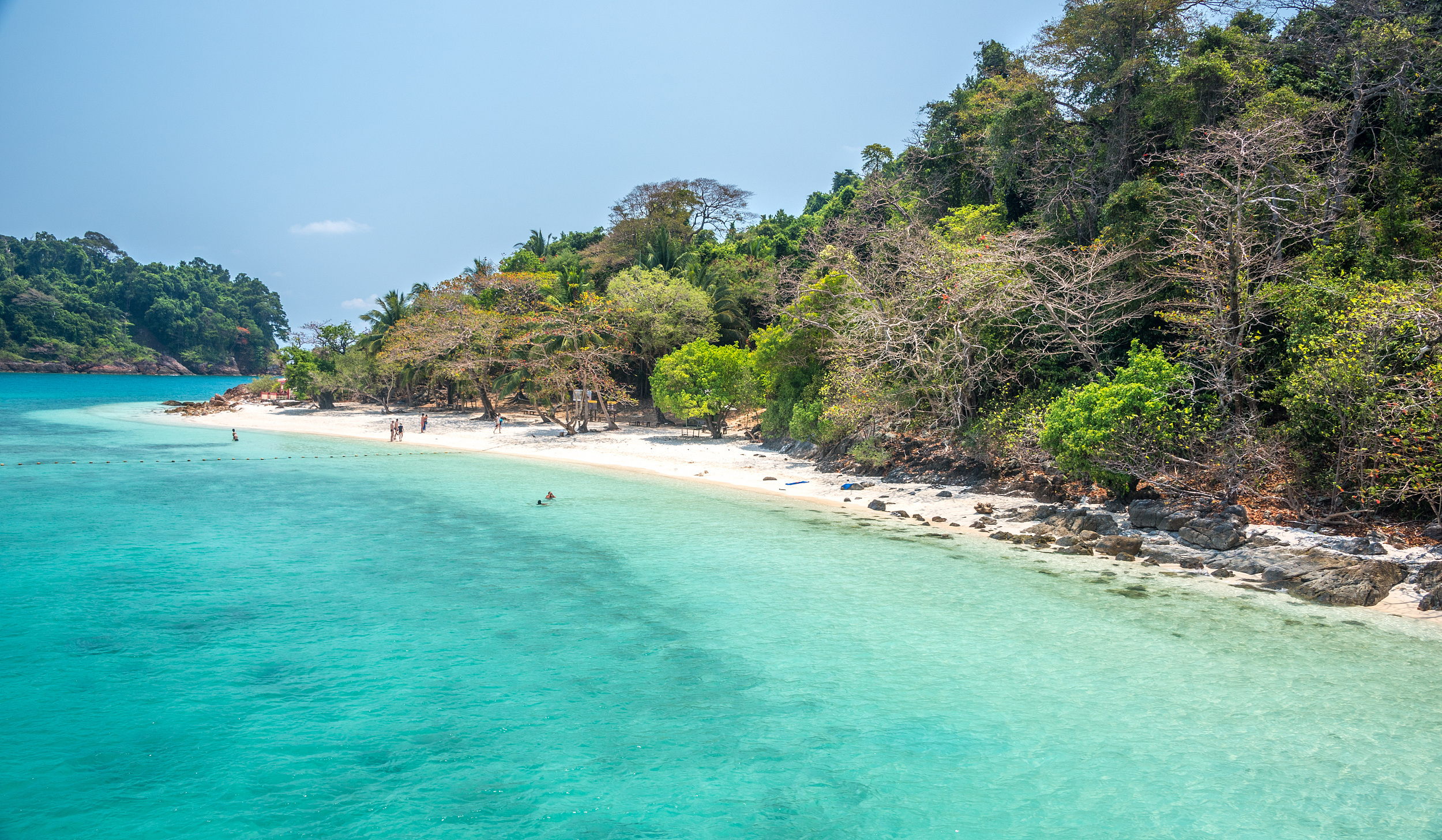
Koh Chang
787 posts
Post
更多推薦
Popular Trip Moments
Wat Makok, Ta Phraya District, Sa Kaeo Province | Huai Yang Reservoir, Ta Phraya District, Sa Kaeo Province | Make merit at Wat Ta Phraya | Pha Daeng Viewpoint, Tra Phraya National Park | Lalu | Lalu | Discover the wonders of nature | Lalu | Ta Phraya National Park | Lalu, the land of wonders🔮 | Pha Daeng Viewpoint⛰️
Recommended Attractions at Popular Destinations
Attraction near Bangkok | Attraction near Manila | Attraction near Tokyo | Attraction near Taipei | Attraction near Hong Kong | Attraction near Seoul | Attraction near Kuala Lumpur | Attraction near Los Angeles | Attraction near Shanghai | Attraction near New York | Attraction near Shenzhen | Attraction near Osaka | Attraction near Singapore | Attraction near London | Attraction near Guangzhou | Attraction near San Francisco | Attraction near Beijing | Attraction near Macau | Attraction near Bali | Attraction near Jakarta | Attraction near Paris | Attraction near Ho Chi Minh City | Attraction near Istanbul | Attraction near Phuket | Attraction near Chicago | Attraction near Seattle | Attraction near Toronto | Attraction near Orlando | Attraction near Cebu | Attraction near Chiang Mai
Popular Ranked Lists
Popular Premium Hotels in Oudtshoorn | Popular Local Restaurants in Bangkok | Popular Must-Visit Restaurants in Sapporo | Popular Must-Visit Restaurants in Nha Trang | Popular Must-Visit Restaurants in Chiang Mai | Popular Must-Visit Restaurants in Florence | Popular Must-Visit Restaurants in New York | Top 9 Local Restaurants in Wenling | Popular Premium Hotels in Karimabad | Popular Best Things to Do in Baiyin | Popular Must-Visit Restaurants in Seoul | Popular Best Things to Do in Huangshi | Popular Luxury Hotels in Carmen | Top 8 Best Things to Do in Chongzuo | Top 10 Must-Visit Restaurants in Bad Ischl | Popular Best Things to Do in Qinzhou | Popular Premium Hotels Near Gorod Novosibirsk | Top 4 Best Things to Do in Jinjiang | Top 4 Best Things to Do in Yingkou | Popular Must-Visit Restaurants in Bali | Popular Premium Hotels Near Novosibirsk | Popular Best Things to Do in Nanchong | Top 3 Best Things to Do in Dongfang | Top 7 Best Things to Do in Dubrovnik-Neretva County | Popular Premium Hotels in Altai Republic | Popular Must-Visit Restaurants in Auckland | Popular Must-Visit Restaurants in Macau | Popular Premium Hotels Near Jizan Region | Popular Best Things to Do in Heze | Popular Premium Hotels in Durango
Payment Methods
Our Partners
Copyright © 2025 Trip.com Travel Singapore Pte. Ltd. All rights reserved
Site Operator: Trip.com Travel Singapore Pte. Ltd.
Site Operator: Trip.com Travel Singapore Pte. Ltd.